|
page 32 |
Stewart's Corral Photo Album - for Tom and Krystal |
|
 enlarge to 1024x768 |
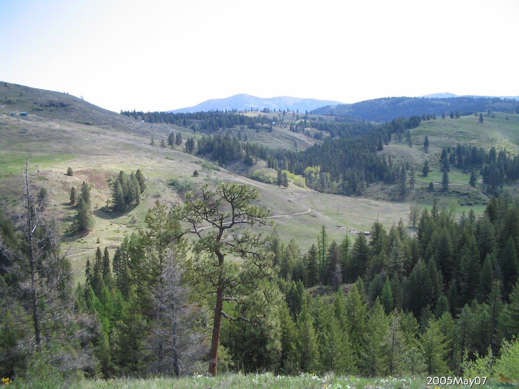
2005.May.07 From SW of section 26, looking ENE Kingfisher Way is visible as it heads East toward your property. Mt. Leona is in the distance, center left of photo. Colville National Forest is next hill in front of the mountains of the Kettle Crest. | ||||
 enlarge to 1024x768 |
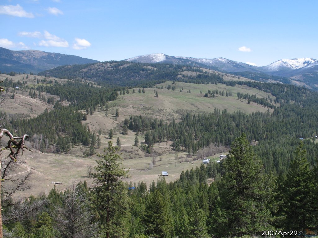
2007.Apr.29 From NW of section 35, looking ESE toward DNR land of section 36, where cows roam during the summer. Division 2 is farther SE, between the grassy DNR field and Kettle Crest in the distance. Mt. Leona is on left. Lambert Mtn. is center with some snow, Midnight Mtn. close to the right, and Copper Butte is farthest right (south) with lots of snow. | ||||
 enlarge to 1024x768 |
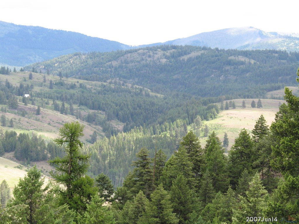
2007.Jun.14 From SE of section 27, looking SE at zoom x3 Looking right up Big Bear Canyon, with South Meadow building site on the right. Around the bend to the left (north) is where the pond is on Colville National Forest land. | ||||
 enlarge to 1024x768 |
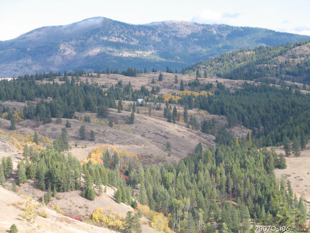
2007.Oct.06 From NW of section 35, looking ESE South meadow building site on the right, Upper Happy Valley Rd visible as it climbs east of your property up to N. Lambert Lane. | ||||
 enlarge to 1024x768 |
2008.May.26 From NW of section 35, looking ENE Centered on your property, with the trees of big bear canyon in the center of photo. | ||||
 enlarge to 1024x768 |
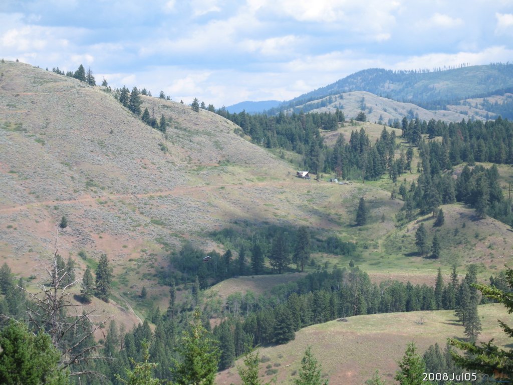
2008.Jul.05 From SE of section 35, looking NNE South meadow building site is on the very bottom, toward the right of center. | ||||
| |||||
 enlarge to 1024x768 |
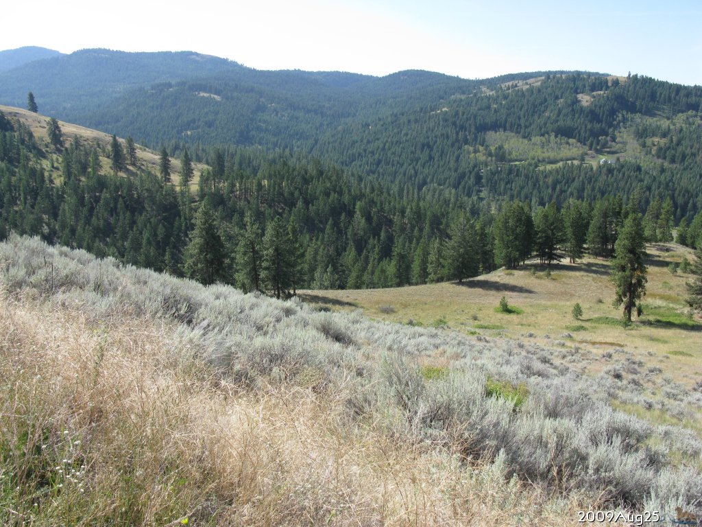
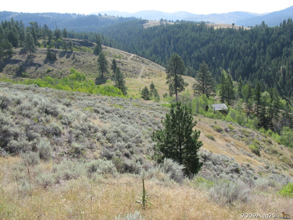
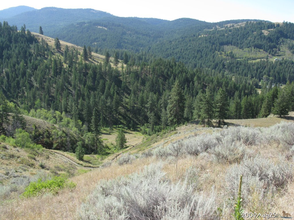
2009.Aug.25 From north side on N. Lambert Ln, a bit farther west, looking SSW South meadow is across the canyon, and closer to the right, is NW meadow. | ||||
| |||||
 enlarge to 1024x768 |
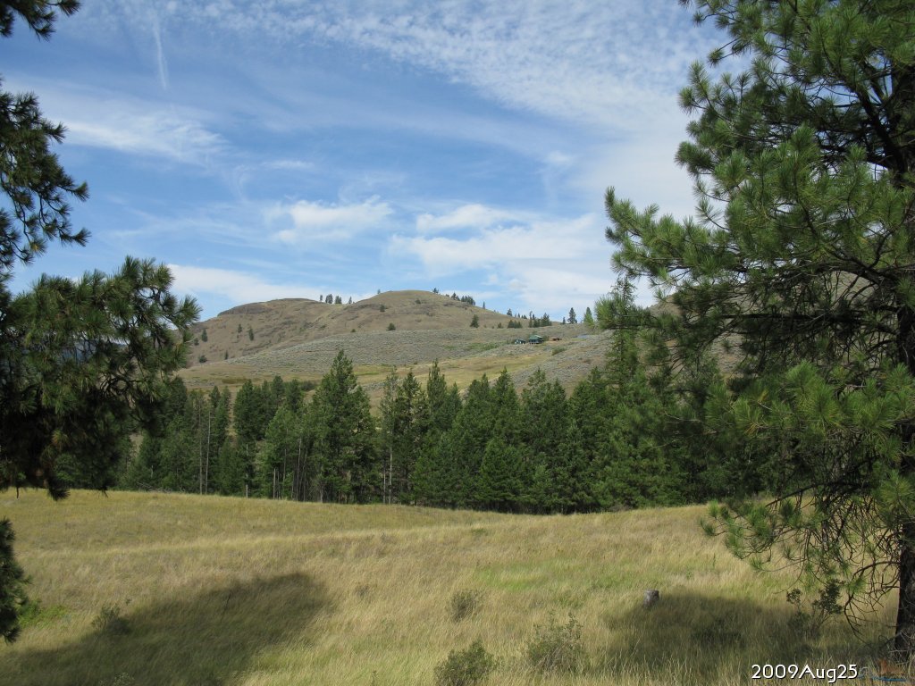
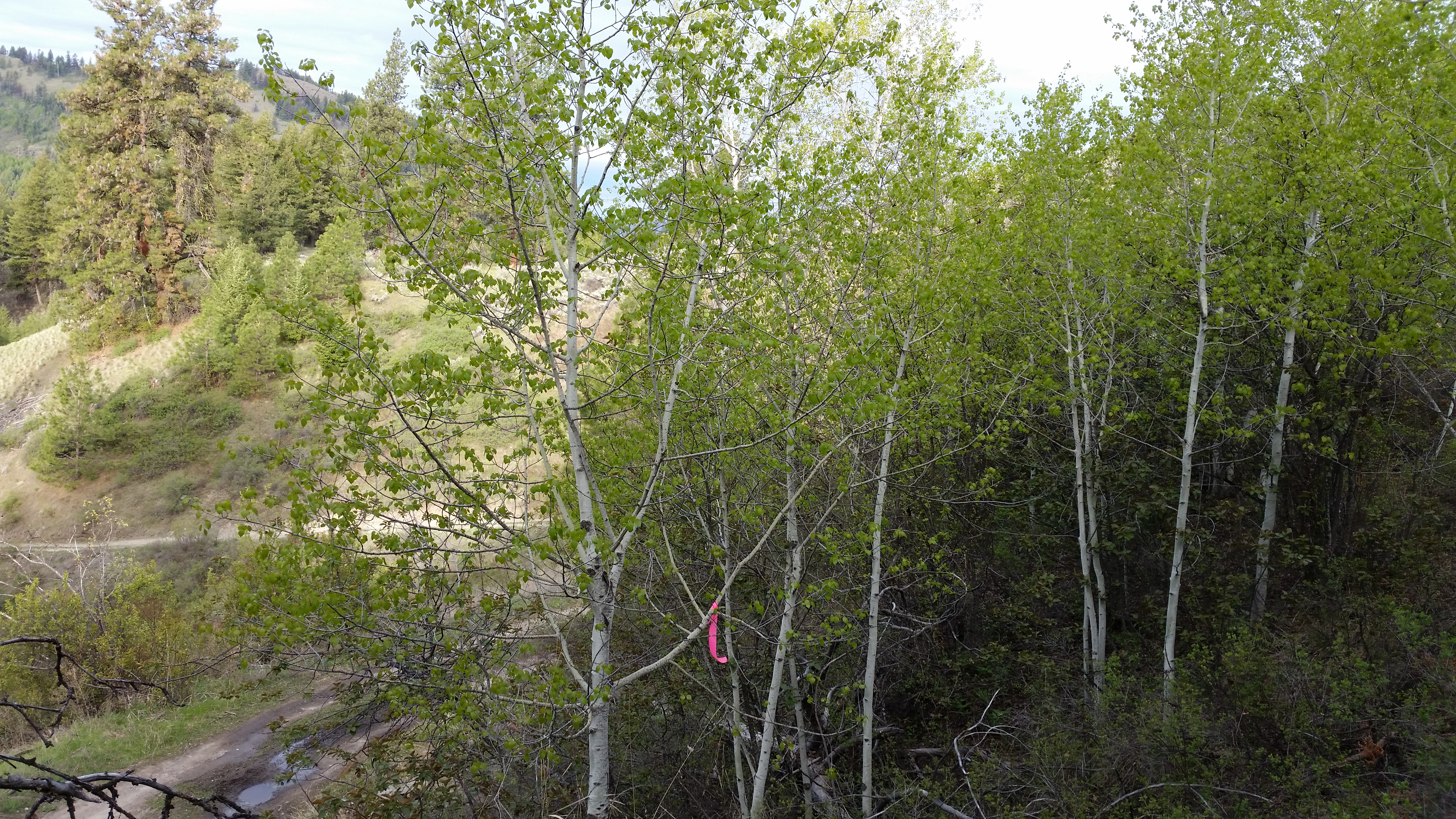
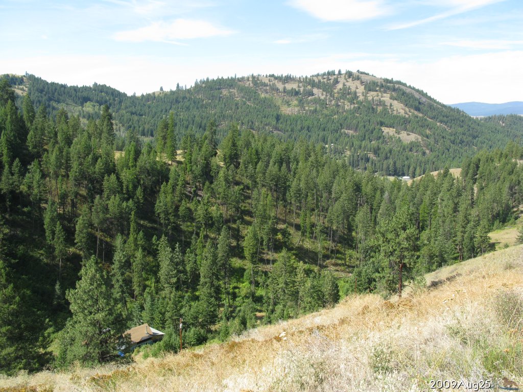
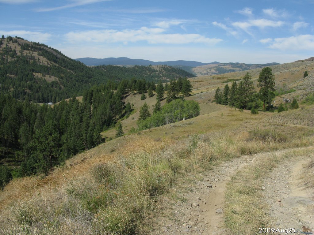
2009.Aug.25 From SE corner of property, on bench above the south meadow, looking NNW | ||||
 enlarge to 1536x1115 |
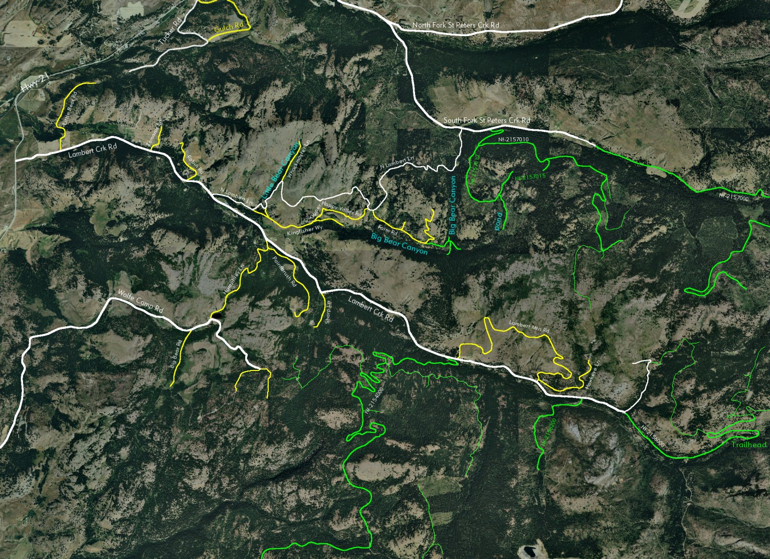
2006.Jul aerial compilation with named roads, forest roads, land features. | ||||
 enlarge to 1024x700 |
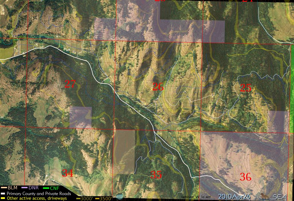
2008.Oct.14 Sample of my work: aerial maps overlaid with easements (not shown), property lines, roads, topographic contours, tresspassing signage, DNR and Colville National Forest classifications. This image covers nearly all of Curlew Rim Ranches Divisions 1 and 3. This aerial photo is from 2005.Jul. Your property is SE of SE of section 26. | ||||
2024 destruction of 1895 survey monument and tresspass by excavator | |||||
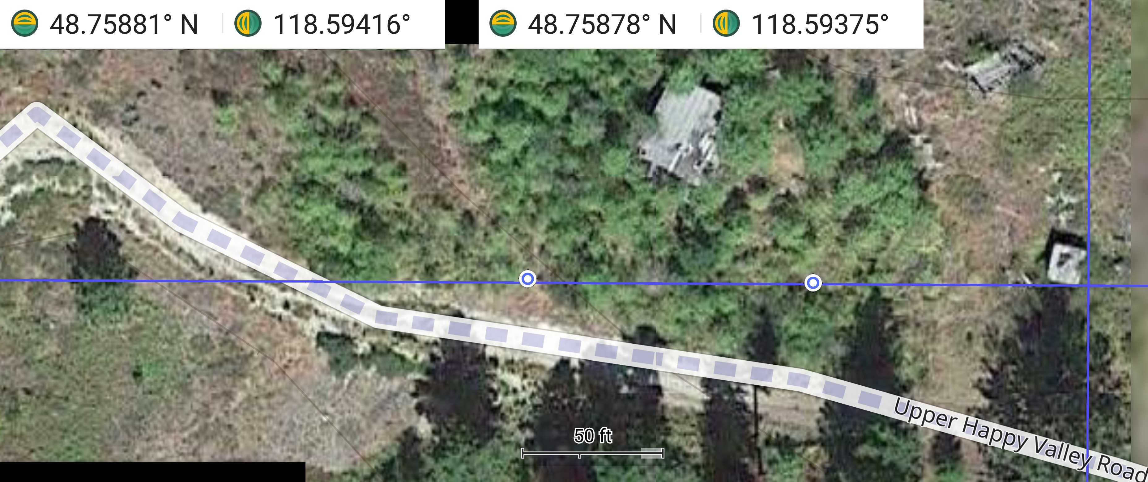 enlarge to 3713x1561 |
I have 4 photos taken 2019.May.08 when surveying the NE line from the corner. From the east line crossing Upper Happy Valley Rd, from the center of roadway, it is North 54 or 61 feet to monument at: calculated: 48.7588005 -118.5933538 (blue line grid) gps waypoint: 48.758780 -118.593351 recorded: 2014-06-06T20:55:11Z Margin for error 7.5 ft. Blue-white dots show locations where photos were taken. | ||||
 enlarge to 5312x2988 |
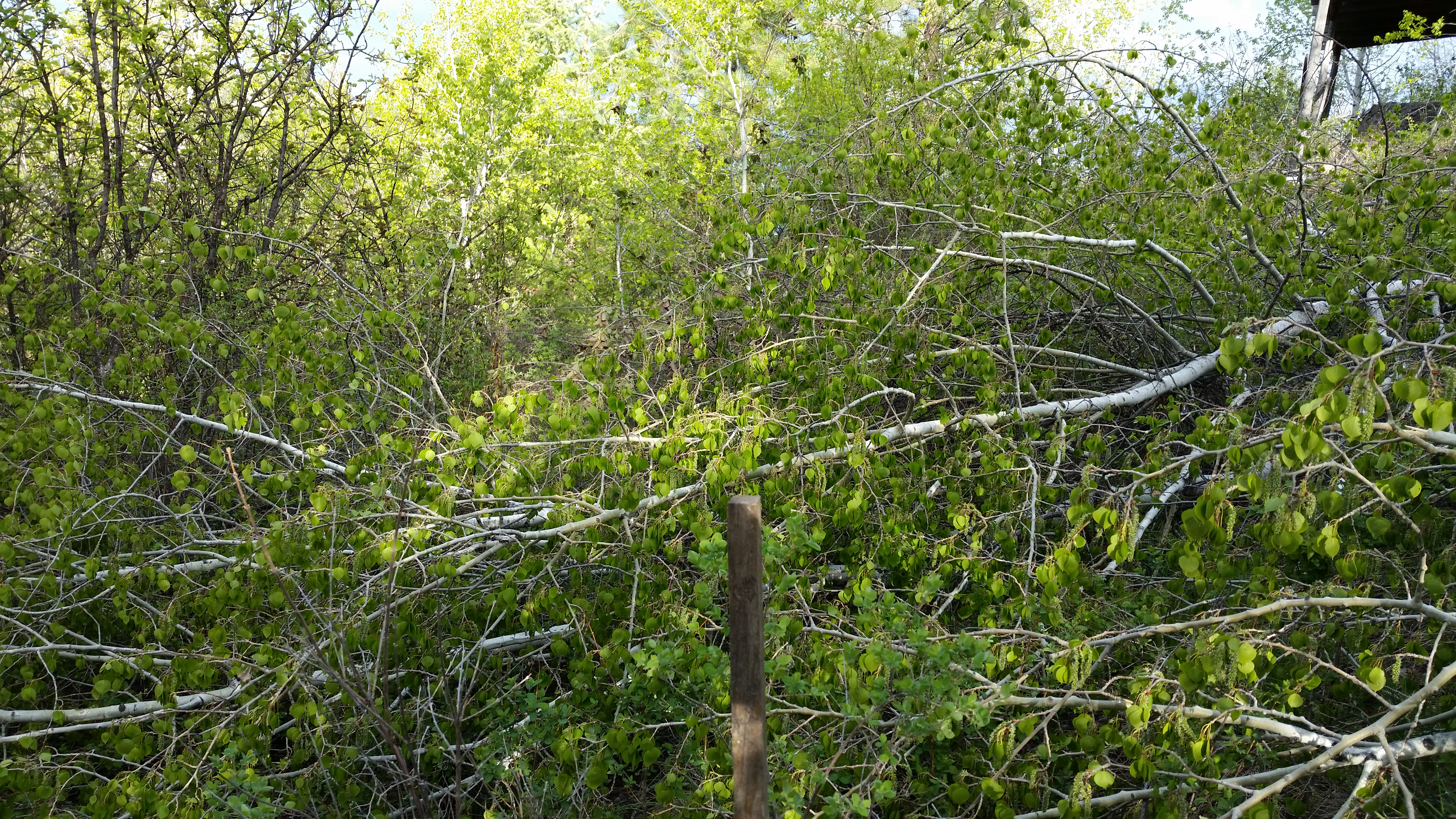
2019.May.08 95.8 ft West of NE corner monument: 48.7588119 -118.5937500 Looking West, centered property line with stake. | ||||
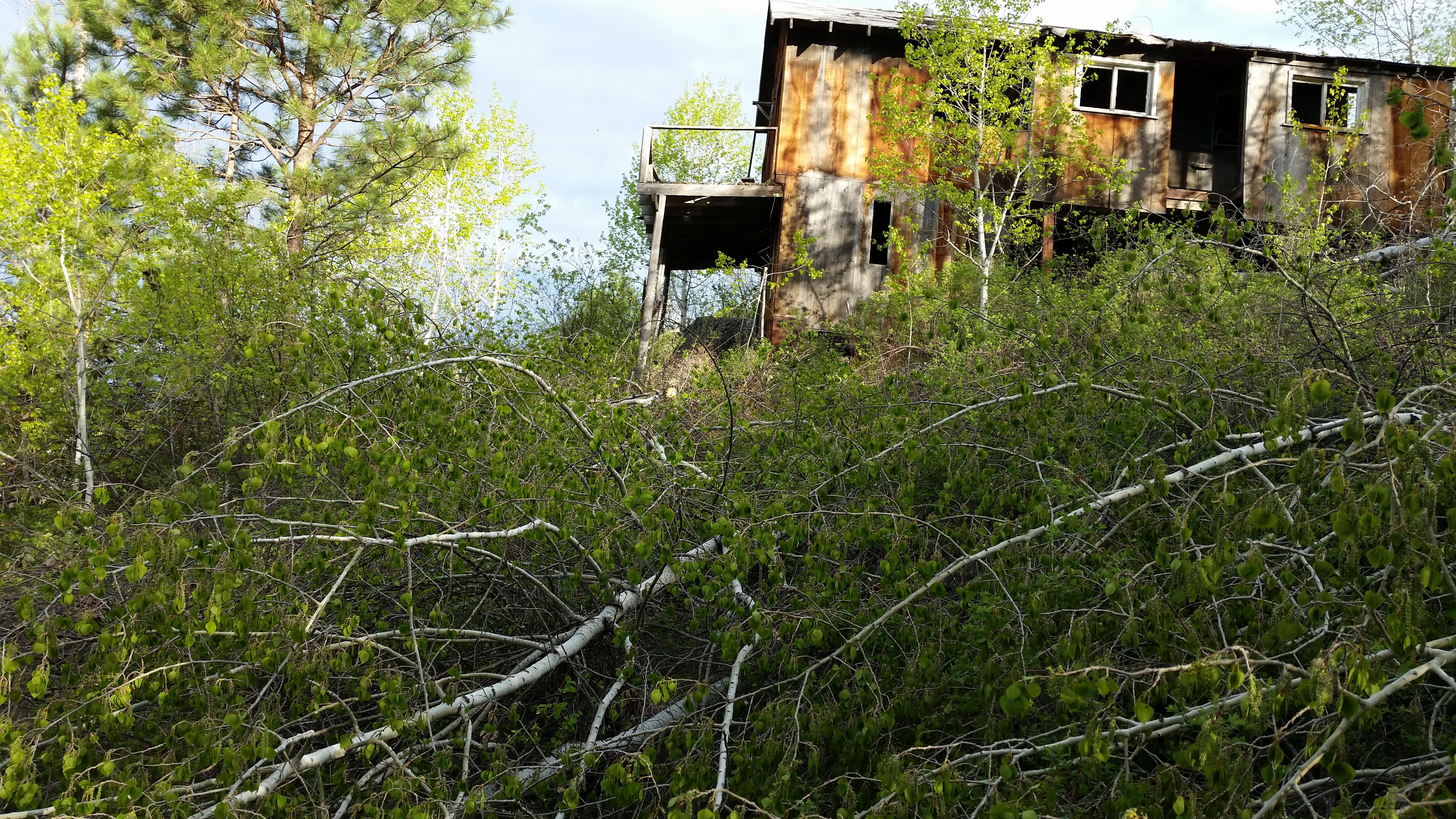 enlarge to 5312x2988 |
48.7588119 -118.5937500 Pan right, Looking NorthWest | ||||
 enlarge to 5312x2988 |
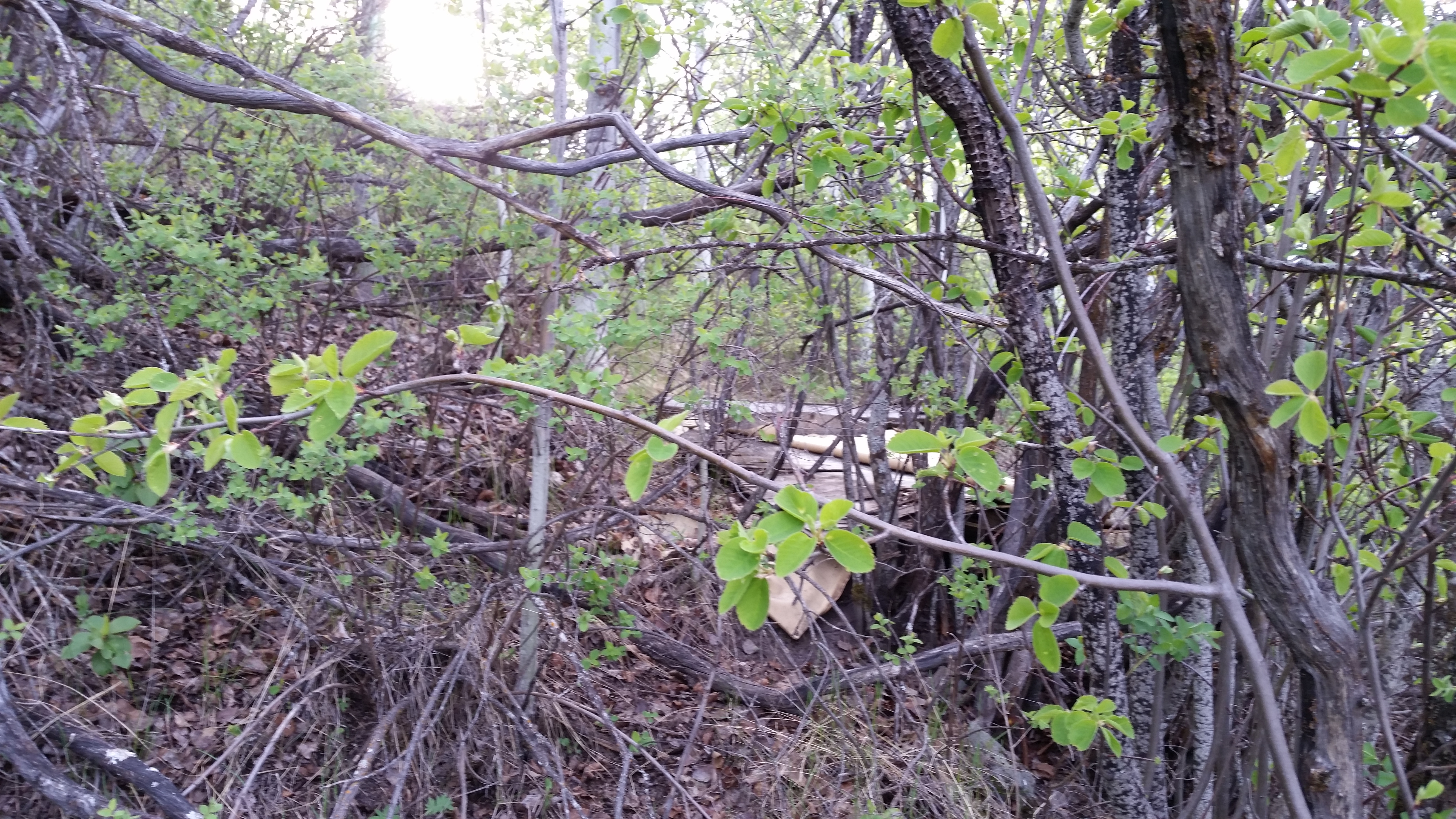
48.7588081 -118.5941620 Now at 195.2 ft West of NE corner monument: Looking East, centered on the property line The grey thin stick is just a few inches north of my line, which is north of remains of an old oak chair. | ||||
 enlarge to 5312x2988 |
48.7588081 -118.5941620 Looking West, centered on the property line. Above the spring, and where the water crosses the road. | ||||
![[Home]](images/home.gif)
![[2nd year photos]](images/20030821-27.13-t60.jpg)
![[Republic photos]](images/20021128-23.23-t60.jpg)
![[Republic weather charts]](images/weather1-t60.jpg)
![[Health links]](images/es-uk-warning-th.png)
![[e-Mail me]](images/mbicon.gif)