|
|
Stewart's Corral Photo Album - from Curlew Lake to Kettle Crest Okanogan Highlands - NE Washington state |
page 7
visitor # |
|
|
Stewart's Corral Photo Album - from Curlew Lake to Kettle Crest Okanogan Highlands - NE Washington state |
page 7
visitor # |
|
| |||||||
 enlarge to 1024x768 |
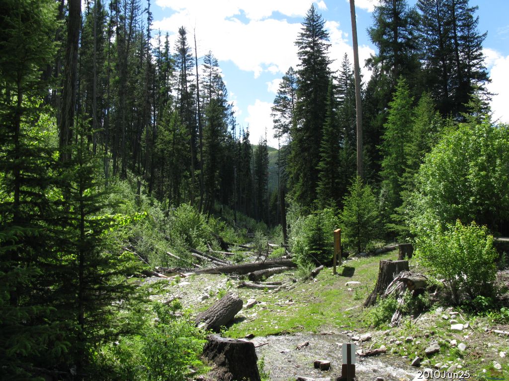
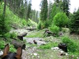
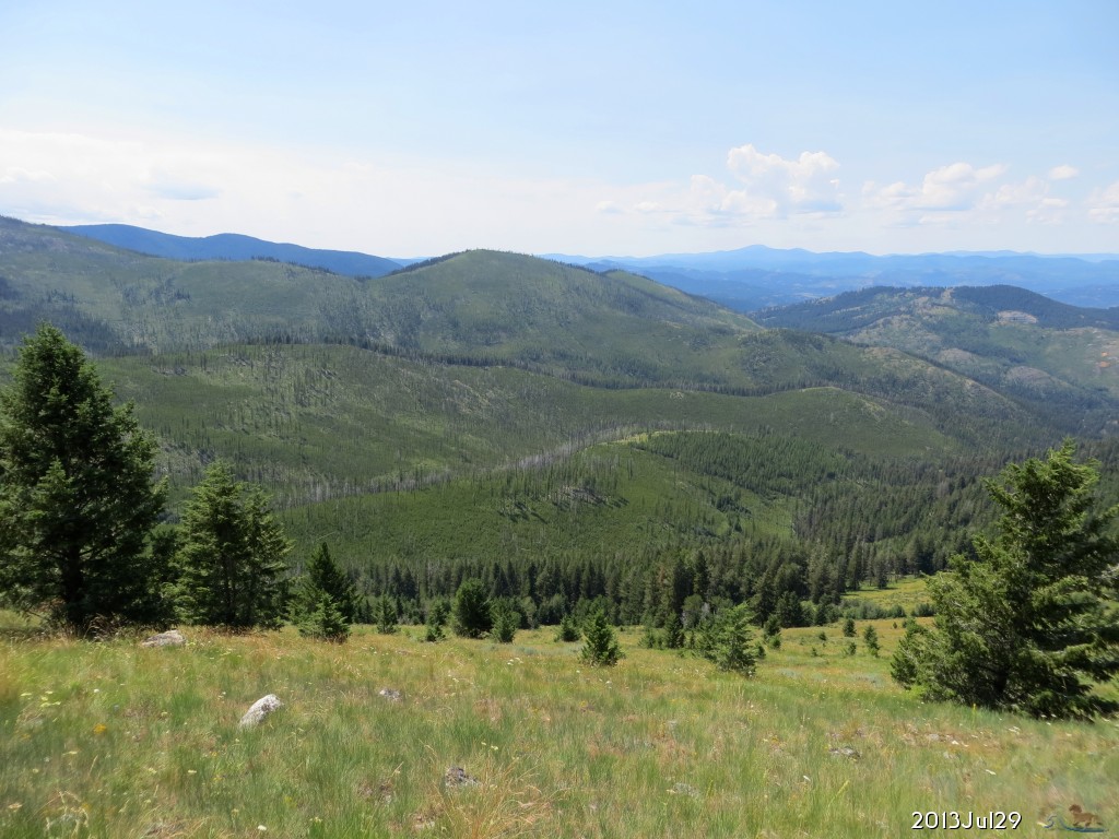
2010.Jun.25 7 miles up Lambert Creek is a trailhead camp, from which where you can hike or horseback ride up Midnight Trail number 47 and Old Stage Trail number 1 to the Kettle Crest. Here is the crossing of Lambert Creek as you leave the National Forest 2156 Rd. Featured on | ||||||
| |||||||
 enlarge to 1024x768 |
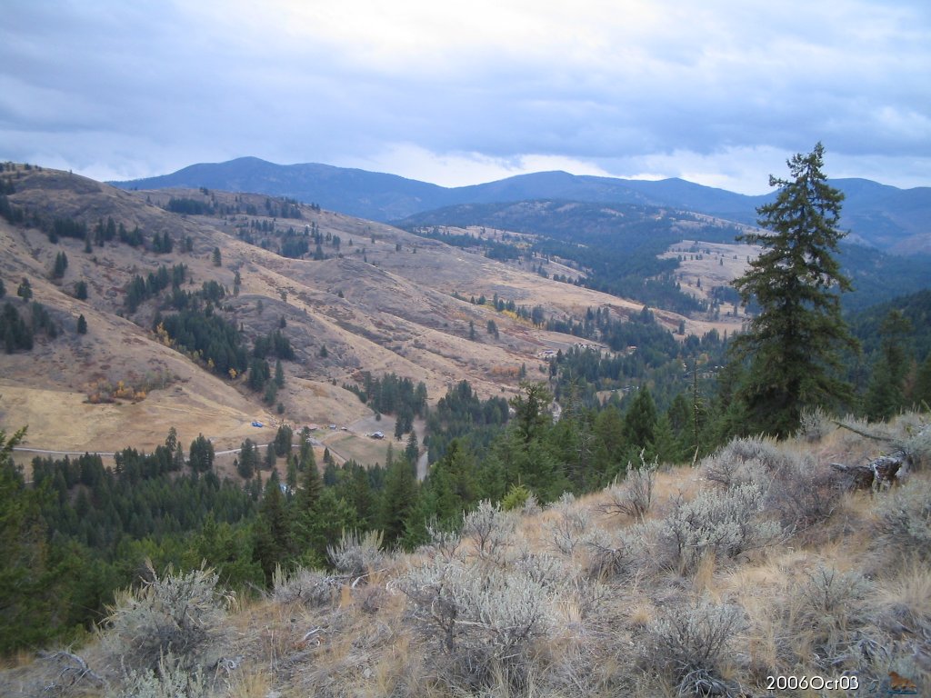
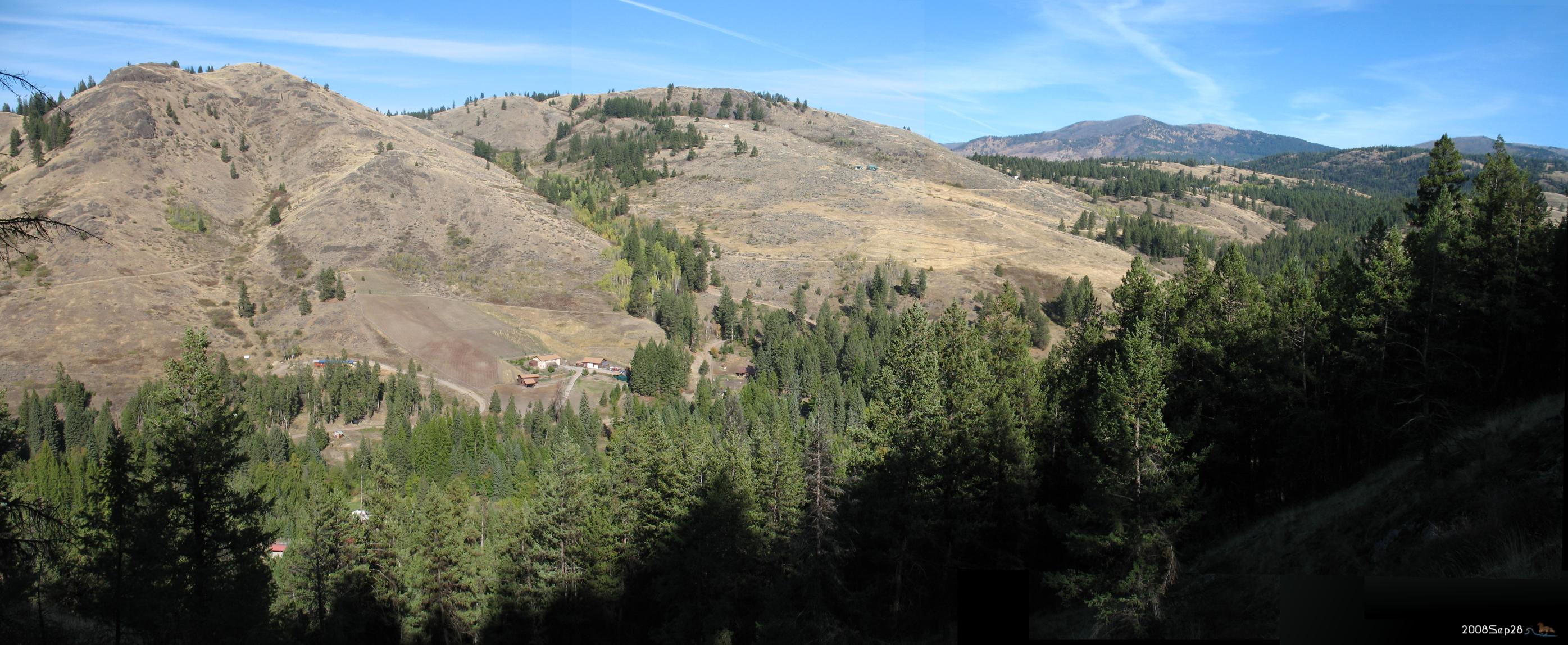
2006.Oct.03 Looking east from SW of section 27, as autumn colors reach their peak in the valley. | ||||||
| |||||||
 enlarge to 1024x768 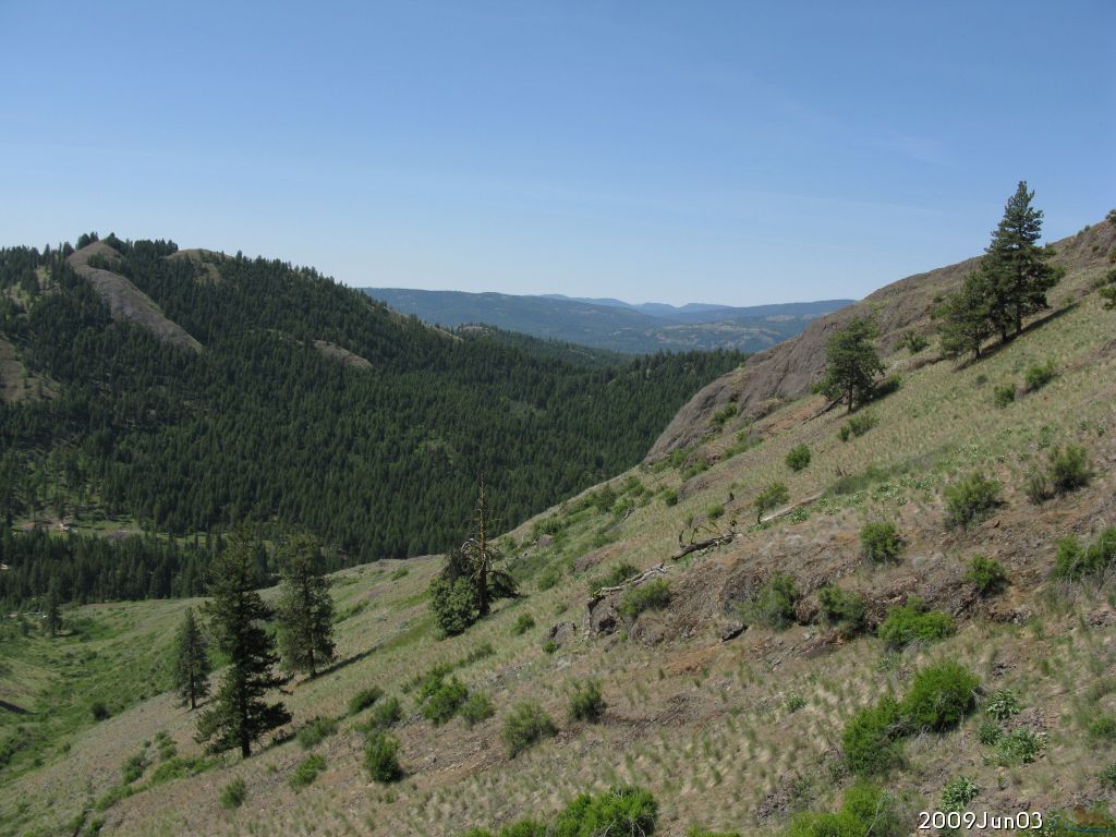 enlarge to 1024x768 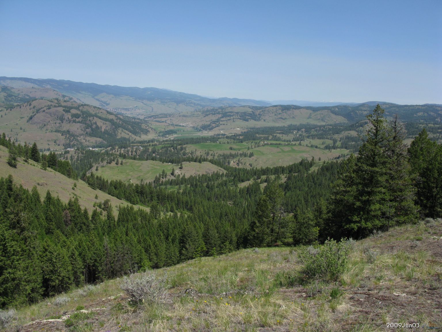 enlarge to 1536x1152 or 1024x768 |
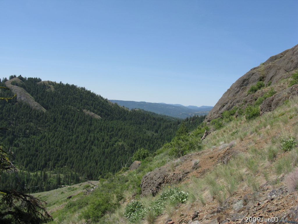
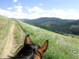
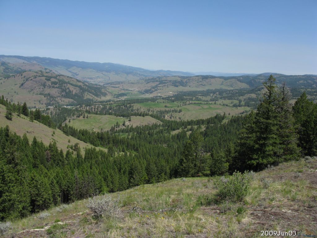
2009.Jun.03 Climbing up steep hill to the north. To look at the Curlew valley toward the north, Malo is in the foreground. | ||||||
 enlarge to 1536x1152 |
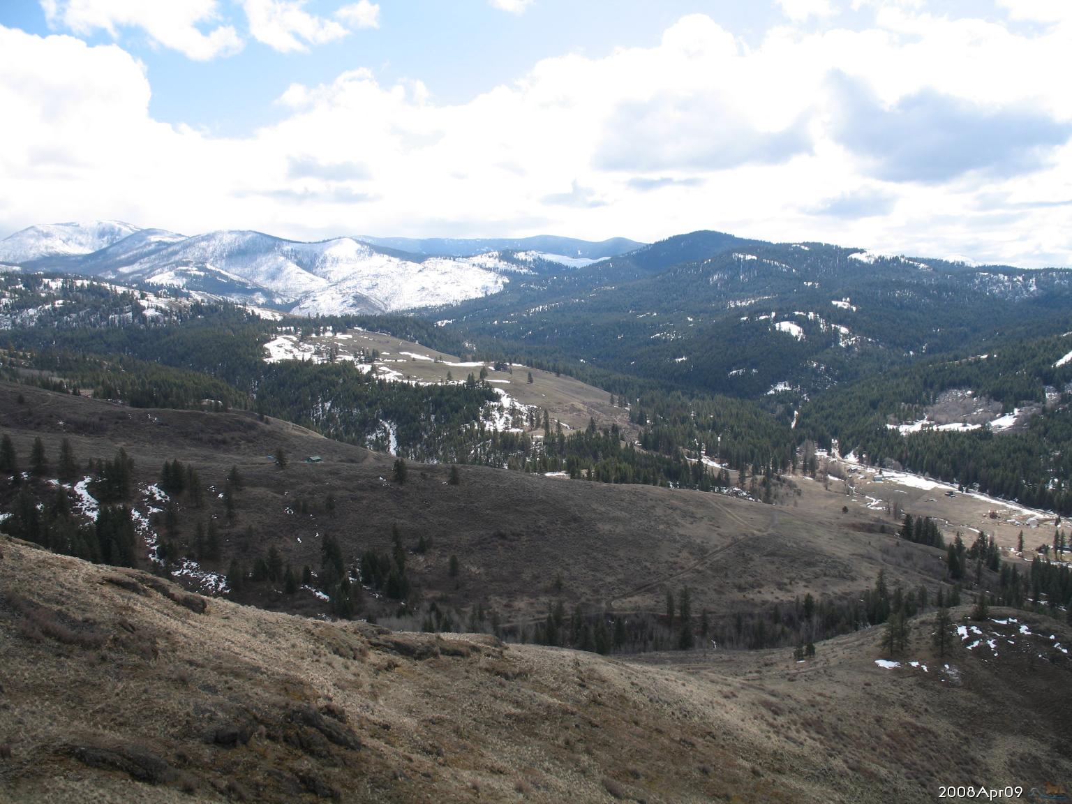
2008.Apr.09 Looking SE up Lambert Creek from top of hill in NW of section 26. Copper Butte and Belcher Mountain in distance beyond Division 2. Winter ending. | ||||||
 enlarge to 1536x1152 |
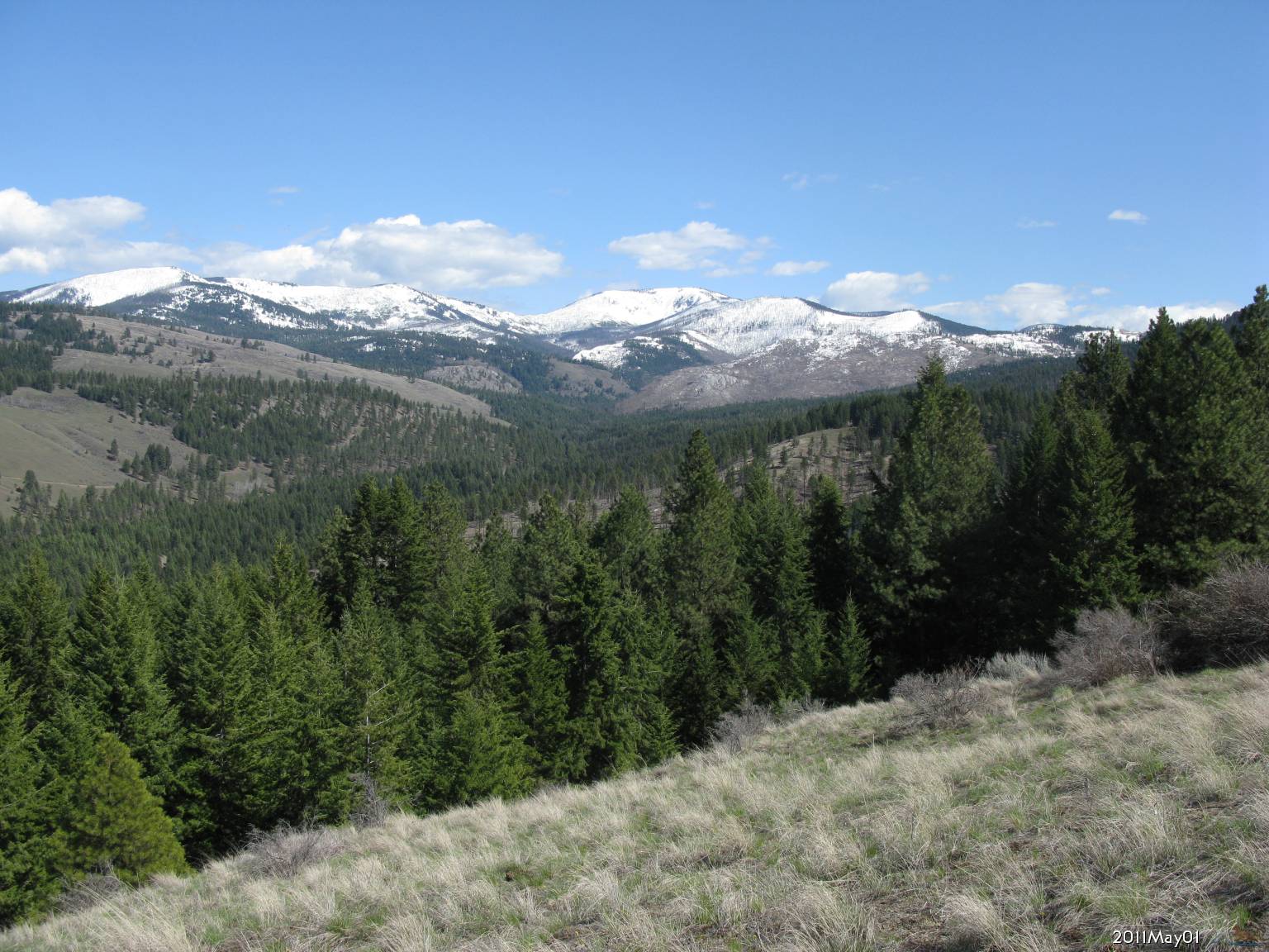
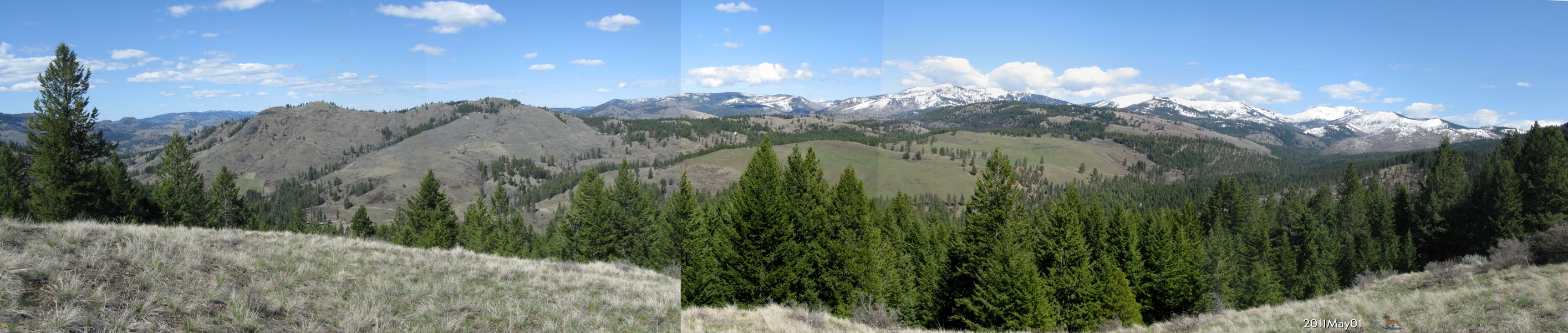
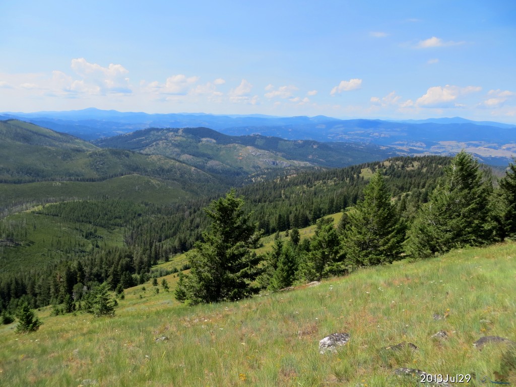
2011.May.01 Looking southeast at the Kettle Crest, from 2.5 Mi. up Lambert Creek (SW of Section 35) at the Kettle Crest, showing from Lambert Mtn. to Copper Butte, as the snowpack retreats in early spring. The Lambert trailhead shown next on this page, is just above the center of this photo, behind the bald hill. | ||||||
 enlarge to 1024x768 |
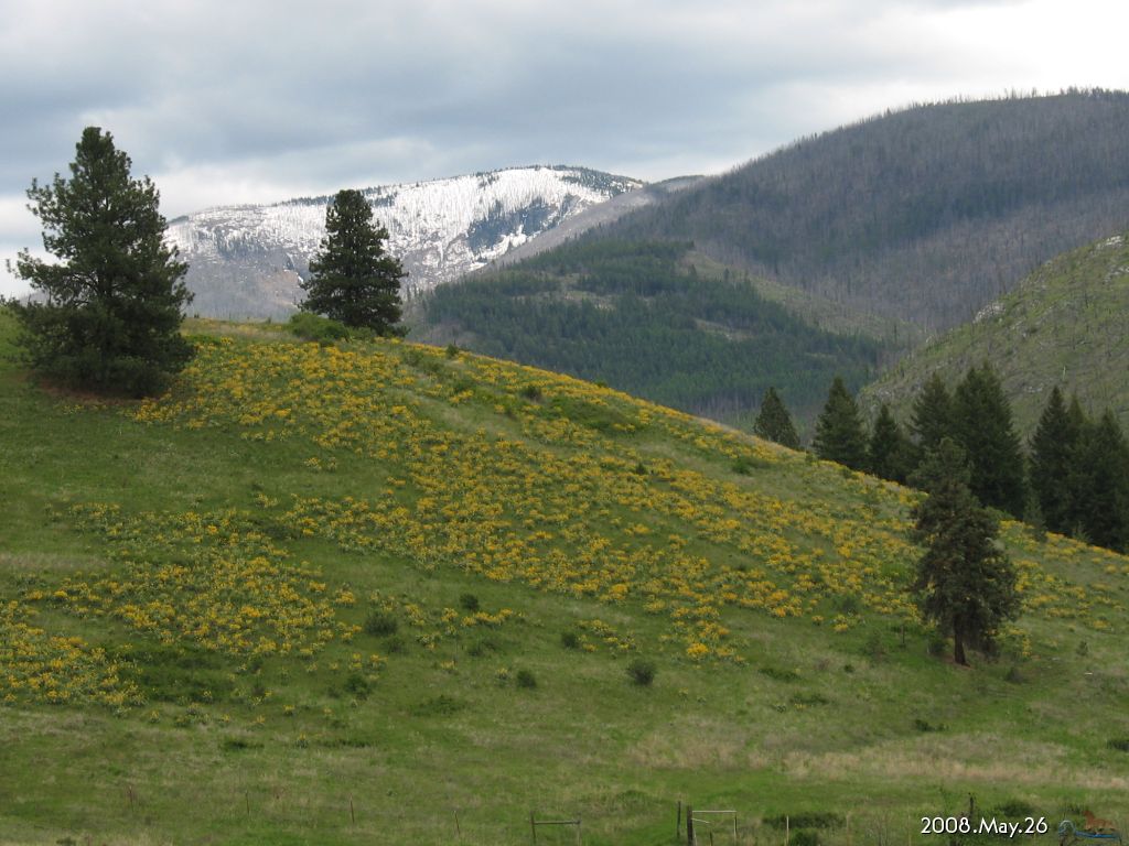
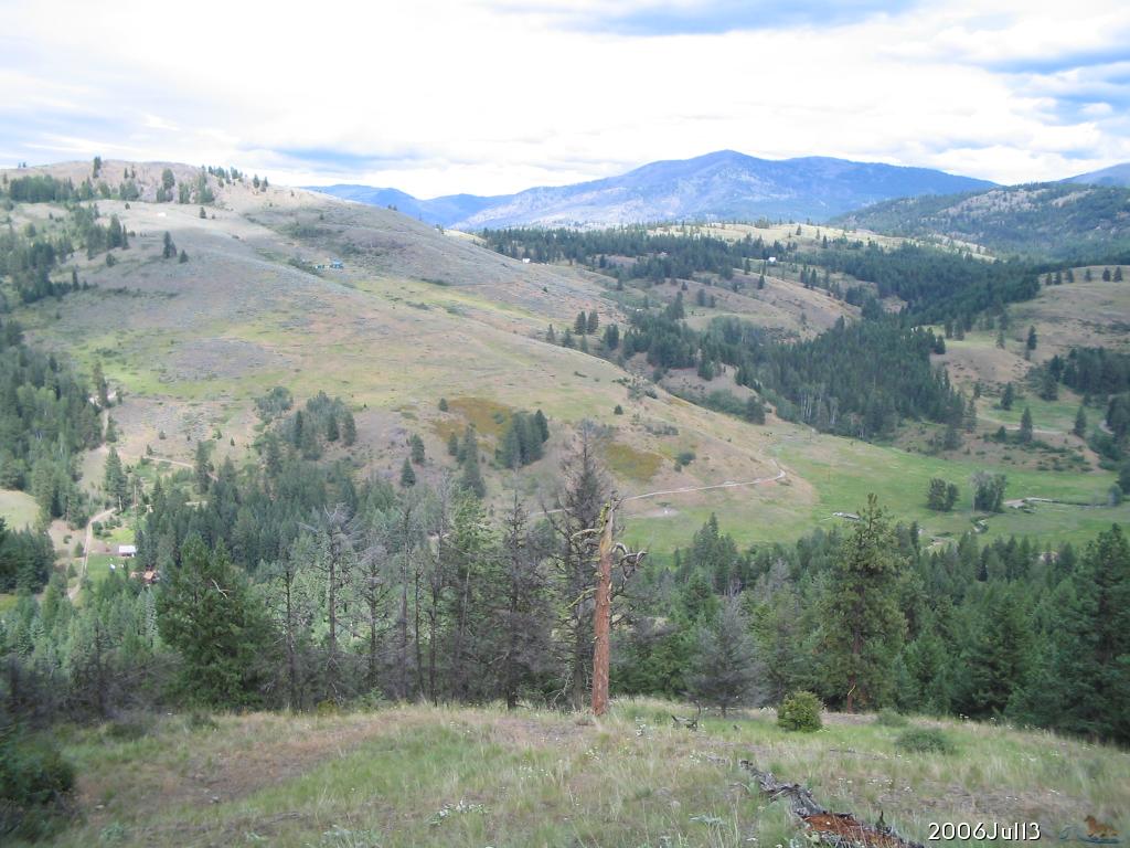
2008.May.26 Copper Butte and Belcher Mountain from Division 2 on Lambert Creek (NW of section 6), looking SE Spring blooming. | ||||||
 enlarge to 1024x768 |
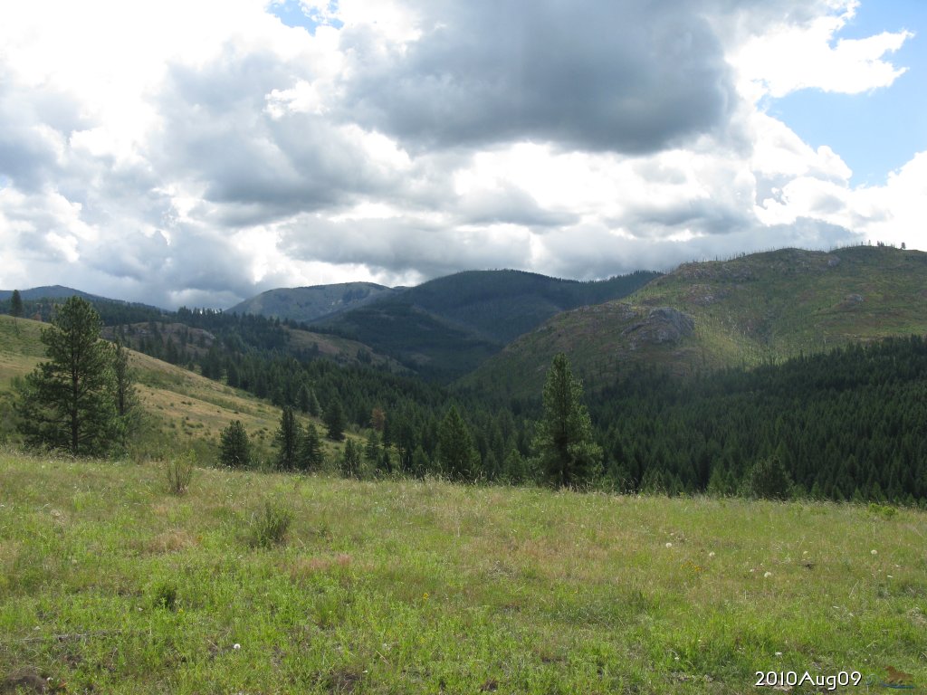
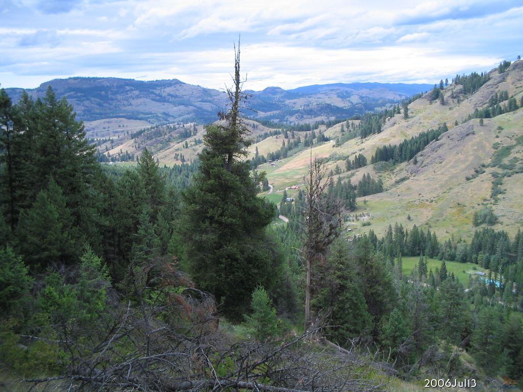
2010.Aug.09 Farther up Lambert Mtn. Rd, looking SE up Lambert Creek valley. Copper Butte and Belcher Mountain in distance. Mid summer day. | ||||||
 enlarge to 1024x768 |
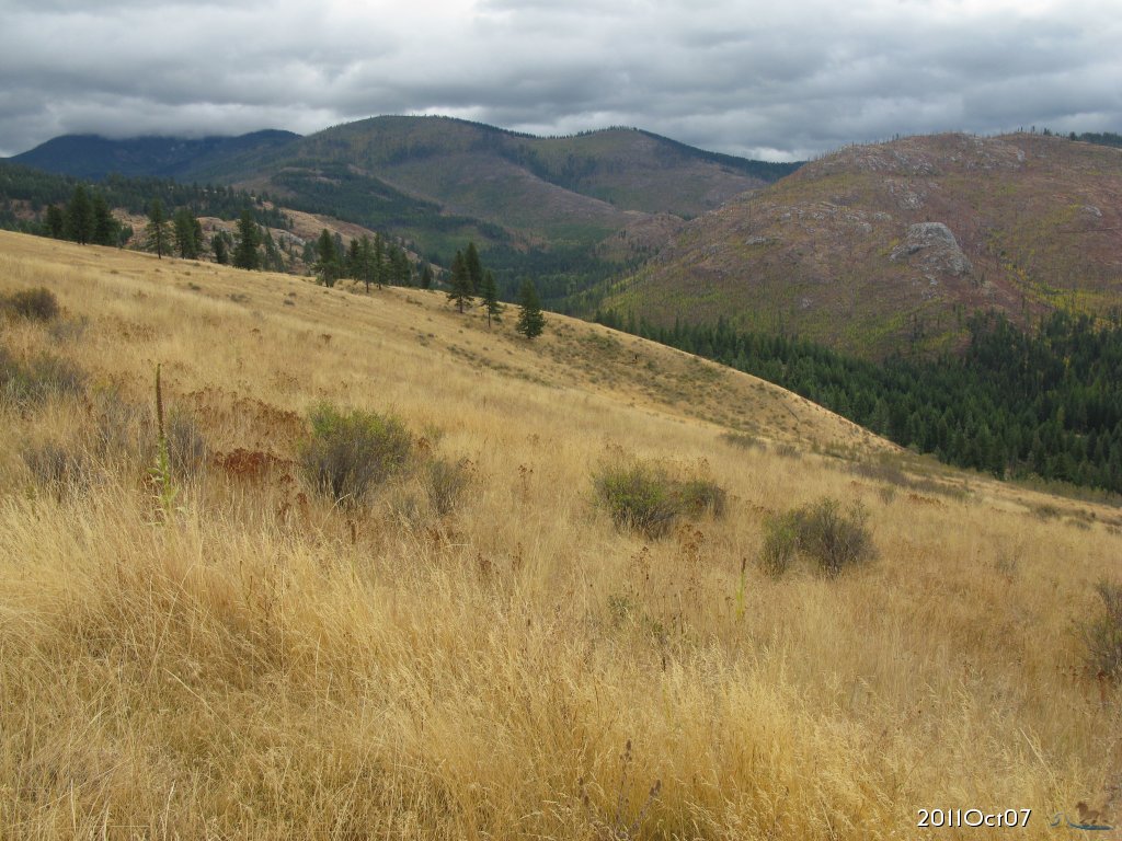
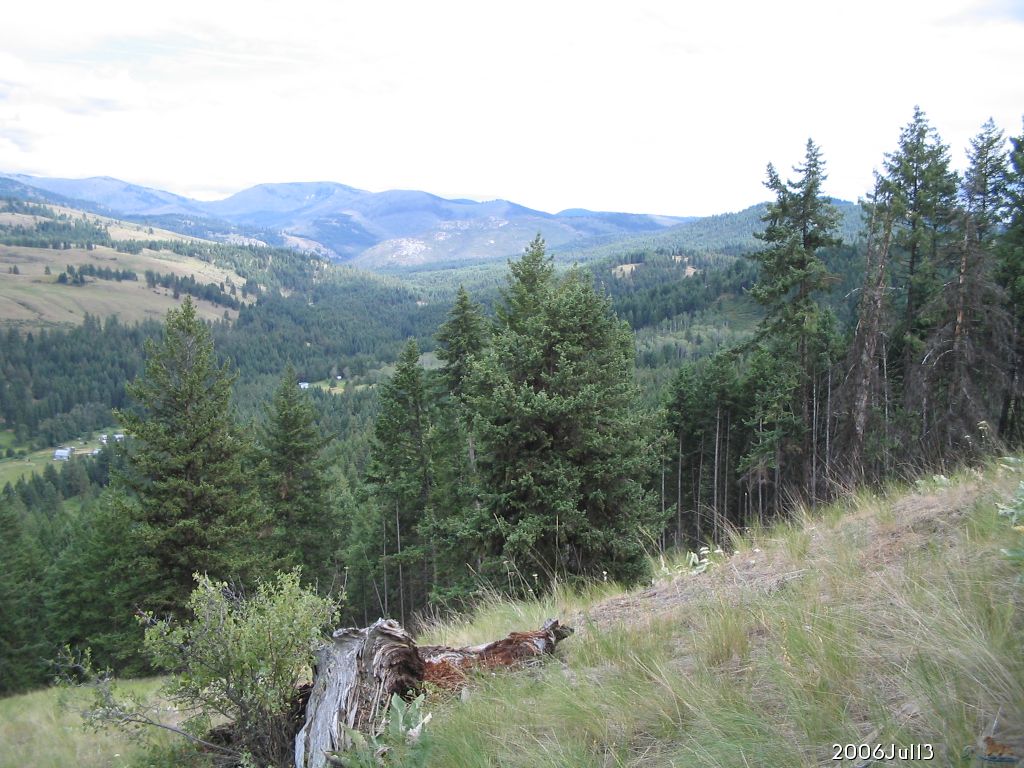
2011.Oct.07 A little farther up Lambert Mtn. Rd, looking SE again, but now autumn colors showing. | ||||||
 enlarge to 1024x768 |
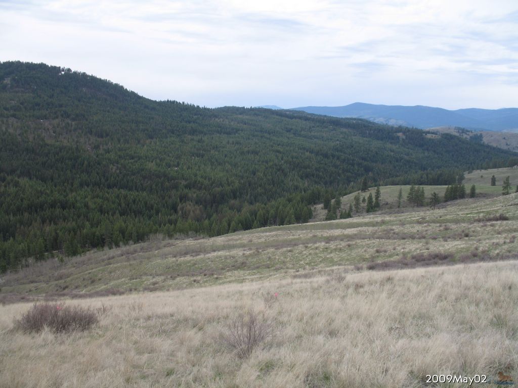
2009.May.02 Looking west from farther up the hill in Division 2. Winter ended, but spring growth barely becoming visible. | ||||||
 enlarge to 1024x768 |
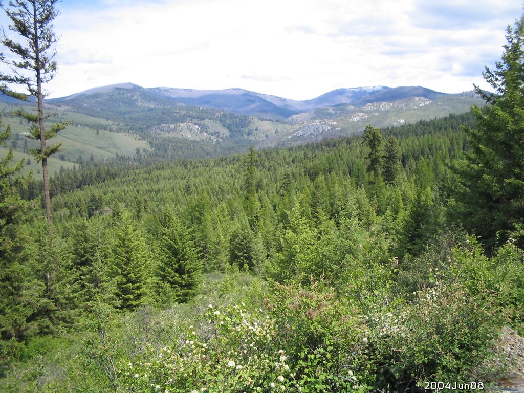
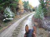
2004.Jun.08 Midnight Mtn. and Copper Butte from Mires Crk National Forest 2154 Rd looking East | ||||||
 enlarge to 1024x768 |
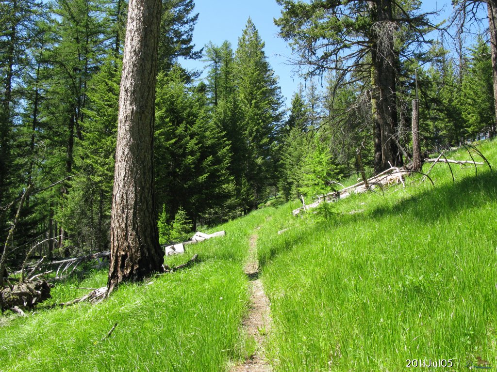
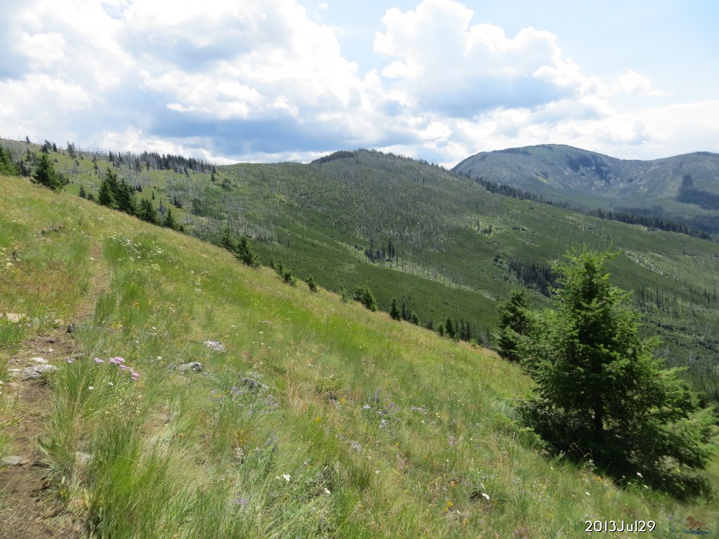
2011.Jul.05 Heading up Midnight Ridge trail toward the Kettle Crest. | ||||||
 enlarge to 1024x768 |
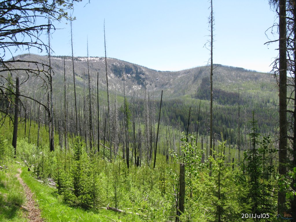
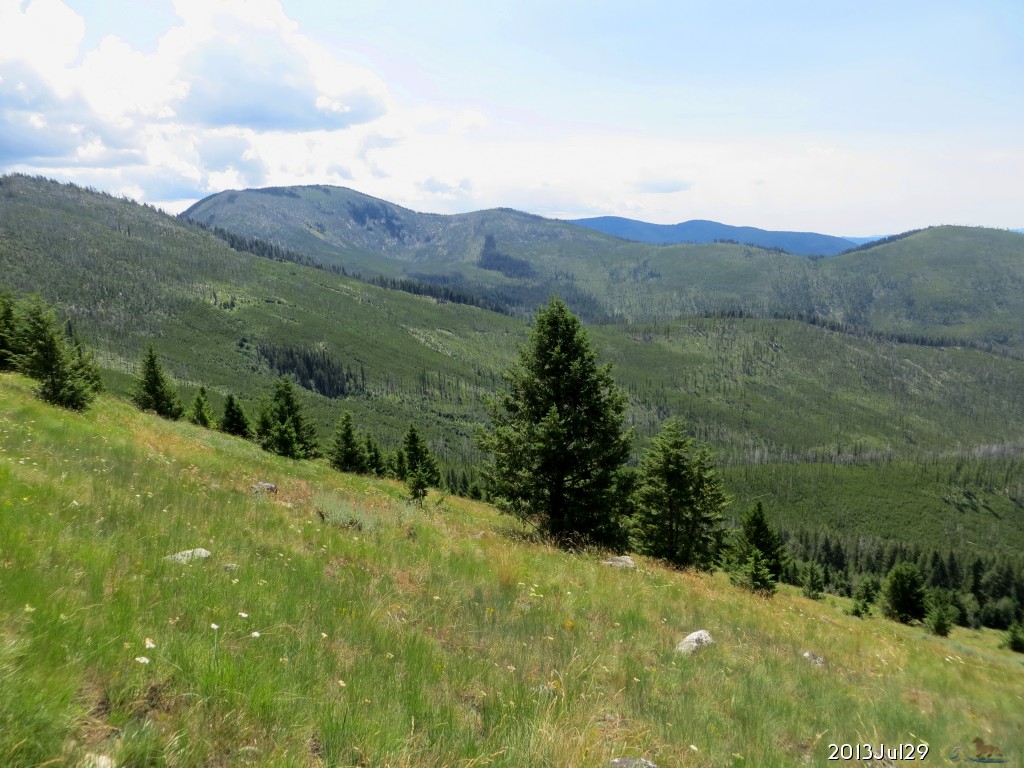
2011.Jul.05 Farther up Midnight Trail, looking over at Copper Butte now much closer. | ||||||
 enlarge to 1024x698 |
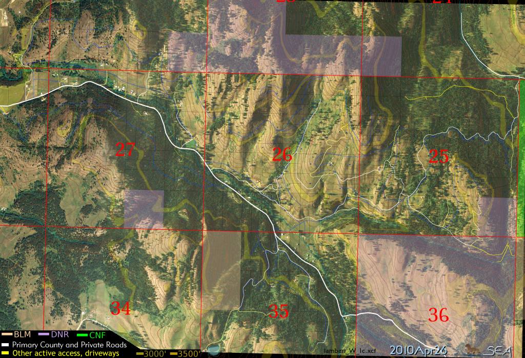
2010.May.07 Sample of my work: aerial maps overlaid with property lines, roads, topographic contours, DNR and Colville National Forest classifications. This image covers nearly all of Curlew Rim Ranches Divisions 1 and 3. | ||||||
 enlarge to 2048x1073 |
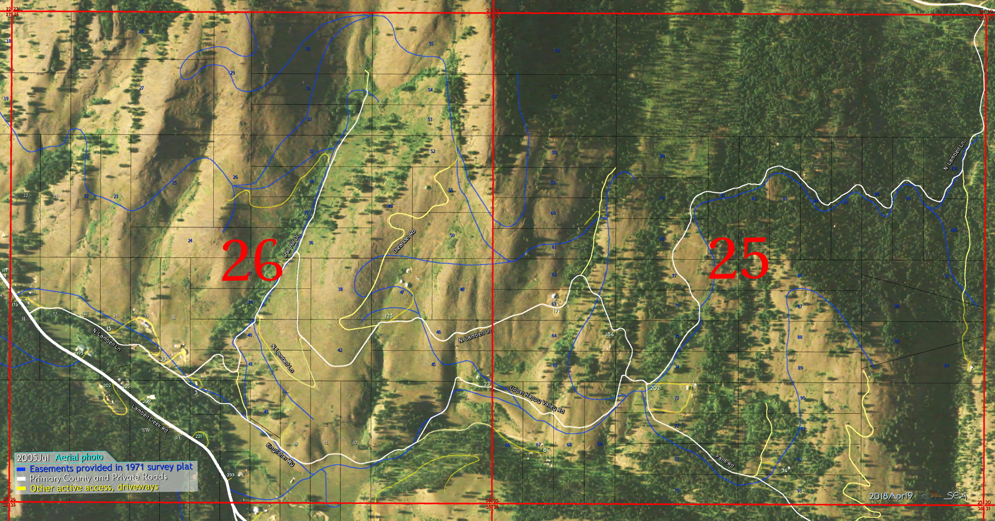
2010.Jun.15 Another sample of my work: aerial maps overlaid with property lines, roads, CRR recorded Easements (in blue), and section lines (in red) outlining sections 26 and 25 of Township 38 North, Range 33 East. Lot numbers from the plat map in Curlew Rim Ranches Divisions 1 (white) and 3 (blue) are also shown. Want to see more from the surrounding sections? Contact me. Also check out the CRR map and easement documents | ||||||
 enlarge to 800x600 |
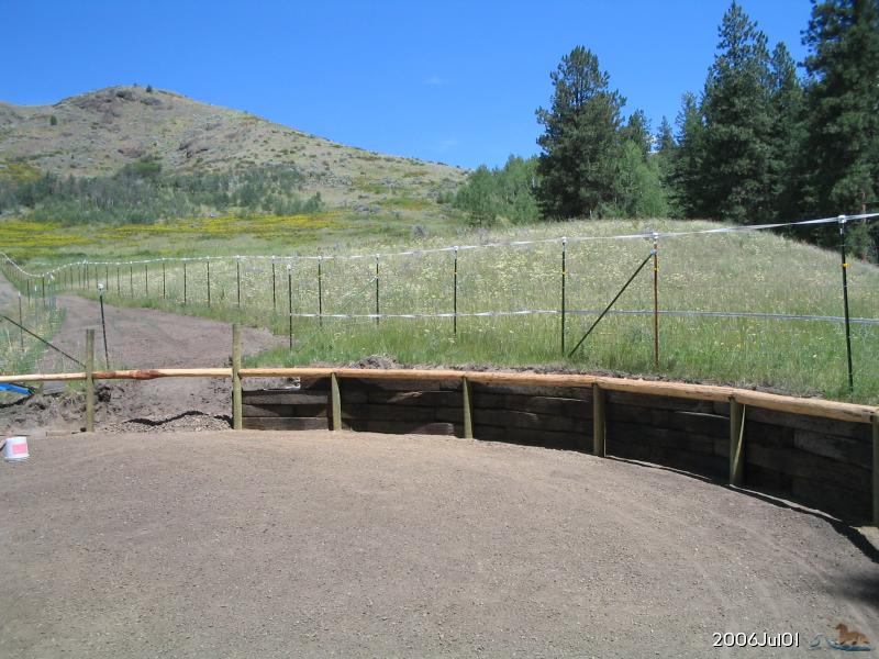
2006.Jul.01 I have a corral again! Hillside is full of color. Too bad it is mostly noxious weeds. St.Johnswort, Knapweed, and Hoary Alyssum are all invasive and poisionous or toxic in some way. | ||||||
 enlarge to 800x600 |
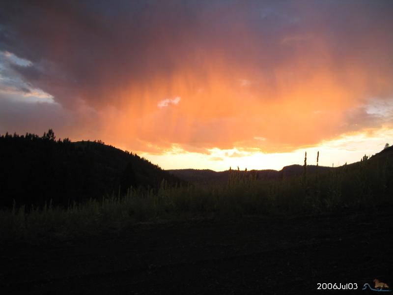
2006.Jul.03 Orange sunset with grey curtain of evaporating rain. | ||||||
 enlarge to 640x428 |
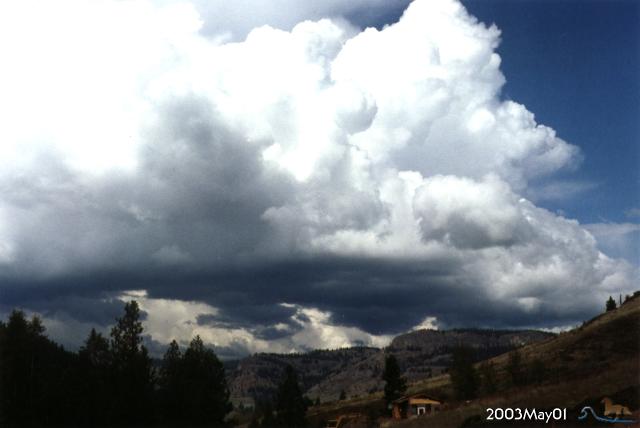
2003.May.01 Thundercloud buildup | ||||||
 enlarge to 640x480 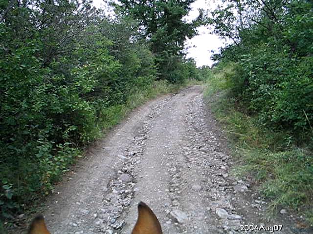 enlarge to 640x480 |
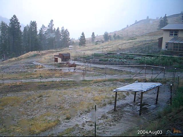
2004.Aug.03 2.4 inches of rain in thunderstorm downpour lasting 1.5 hours 2004.Aug.07 Riding up lane to investigate damage from runoff and erosion during heavy thunderstorm. | ||||||
 enlarge to 800x600 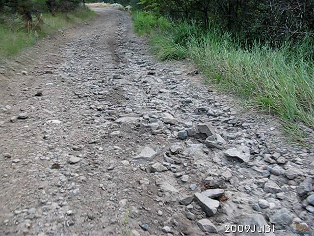 enlarge to 640x480 |
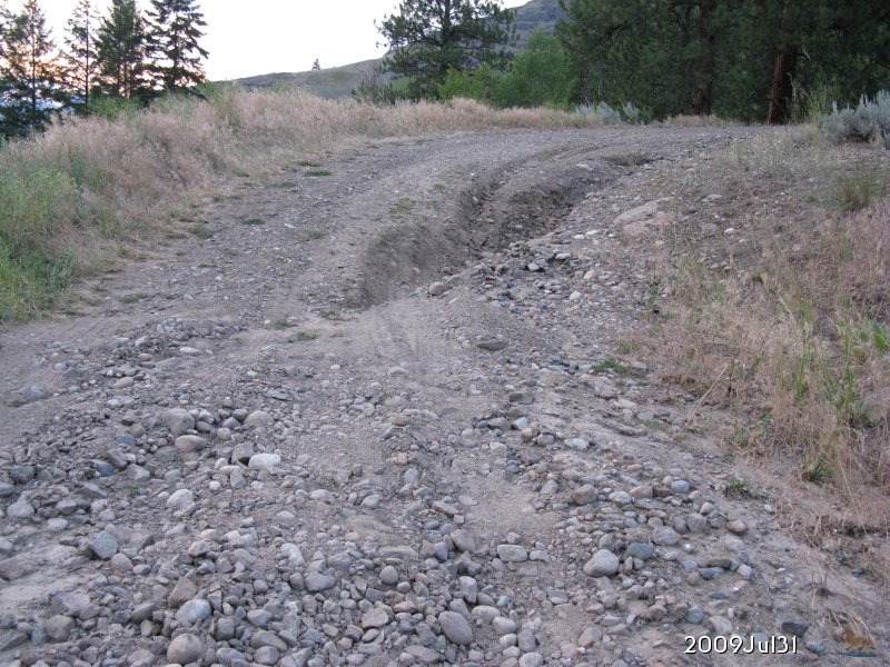
2009.Jul.31 Yet another series of thunderstorm downpours, this time really making a mess of the local roads. | ||||||
 enlarge to 1024x768 |
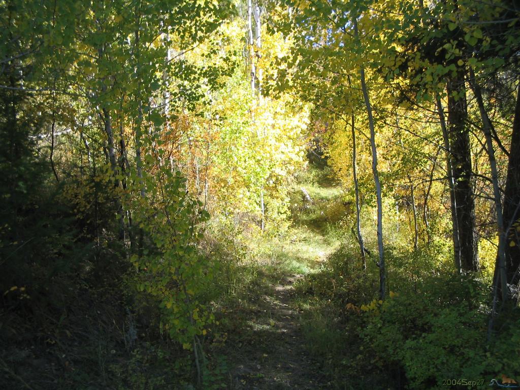
2004.Sep.27 Autumn colors in quaking aspen along NE trail in Little Bear Canyon. | ||||||
 enlarge to 800x535 |
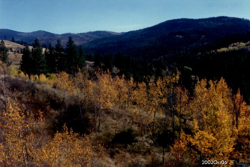
2002.Oct.06 Autumn colors, looking SE over Lambert Crk. valley towards Belcher Mtn. | ||||||
 enlarge to 1024x768 |
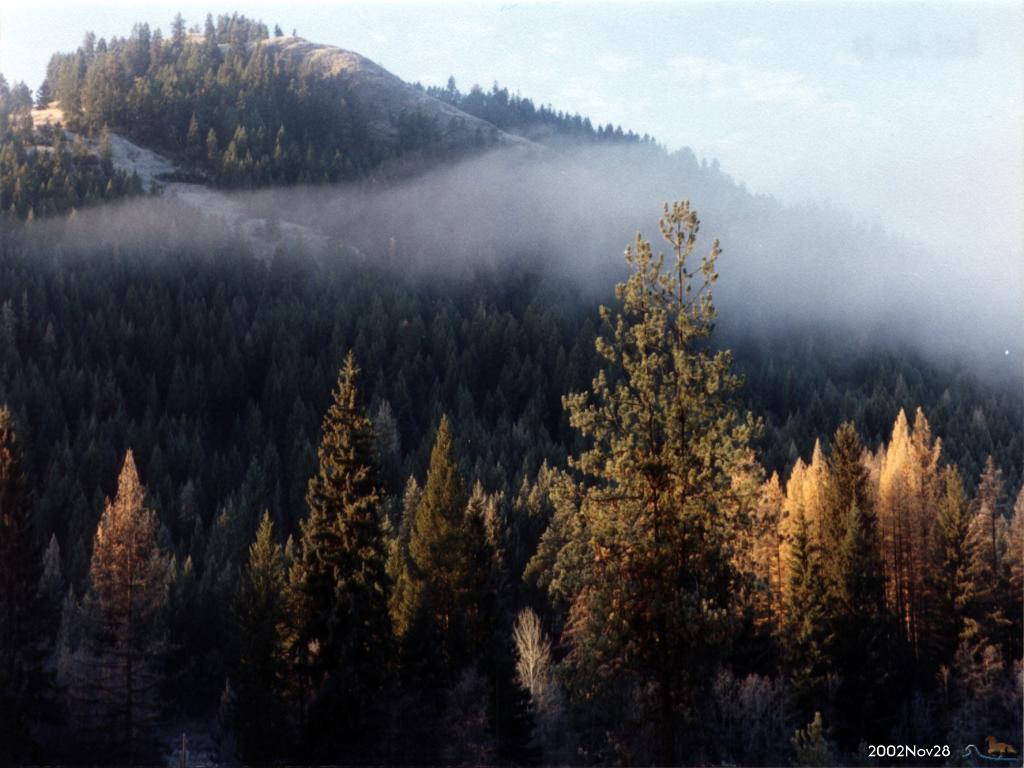
2002.Nov.28 Autumn colors, looking WSW | ||||||
 enlarge to 640x480 |
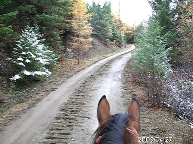
2009.Oct.27 Riding up Nf2154000 in Colville National Forest during snow flurries, after ½ inch snowfall in morning, now melted on ground. Autumn colors in larch (tamarac) trees. | ||||||
 enlarge to 1024x768 |
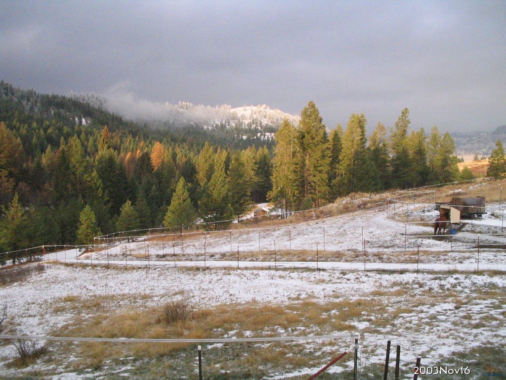
2003.Nov.16 Sunbreak on the snow covered hills. | ||||||
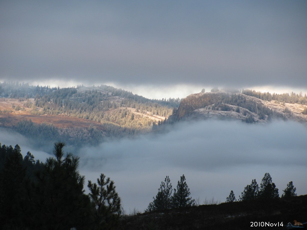 enlarge to 1024x768 |
2010.Nov.14 Beautiful sunbreak on snow covered Mt. Elizabeth with misty clouds in the valley. | ||||||
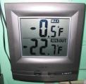 |
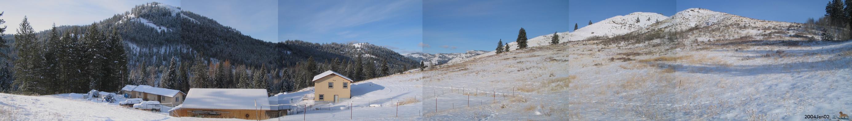
2004.Jan.06 Artic freeze, coldest snap since winter of 1996, breaks record low. Thermometer shows Max and Min for the day. Reports of -30 to -40 in the valley. | ||||||
| |||||||
 enlarge to 1024x768 |
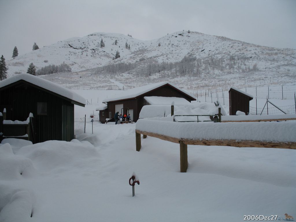
2006.Dec.27 5½ inches overnight brought snowpack accumulation up to 18¾ inches. | ||||||
 enlarge to 640x480 |
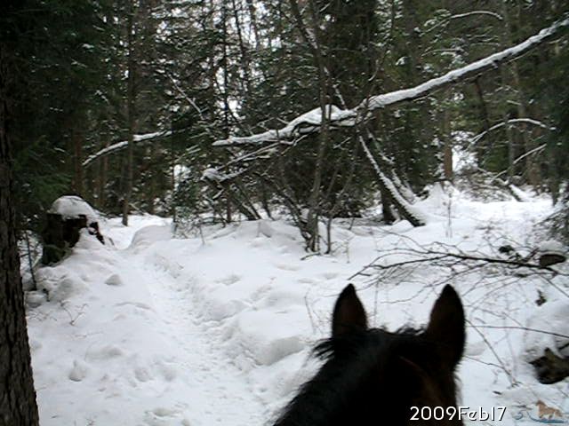
2009.Feb.17 Riding back from mailbox through snow covered woods 16½ inches | ||||||
 enlarge to 640x480 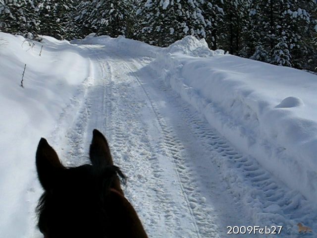 enlarge to 640x480 |
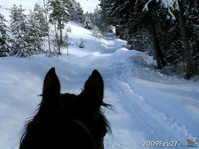
2009.Feb.27 Riding back from mailbox on snow covered lane. 19½ inches on hillside, more along plowed edges. | ||||||
 |
2002.Dec.31 9" of accumulated snow, looking W | ||||||
 enlarge to 640x426 |
2002.Dec.29 Snow covered trees & hillside, depth= 5" | ||||||
 enlarge to 1024x768 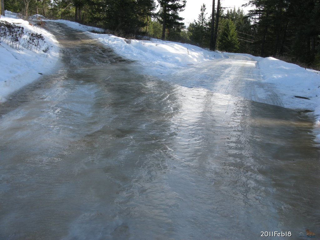 enlarge to 1024x768 |
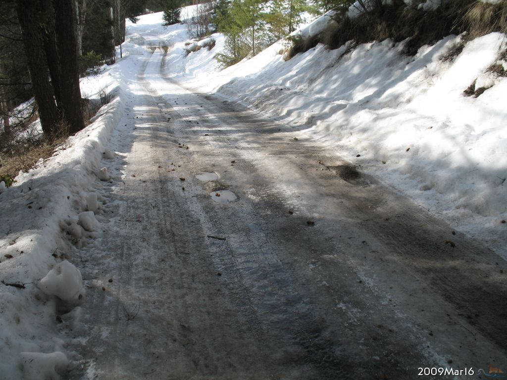
2009.Mar.16 Ice + hills = very slippery 2011.Feb.18 Melt... Freeze... Melt... Freeze... Very VERY slippery. There is no riding across This! | ||||||
 enlarge to 1024x768 |
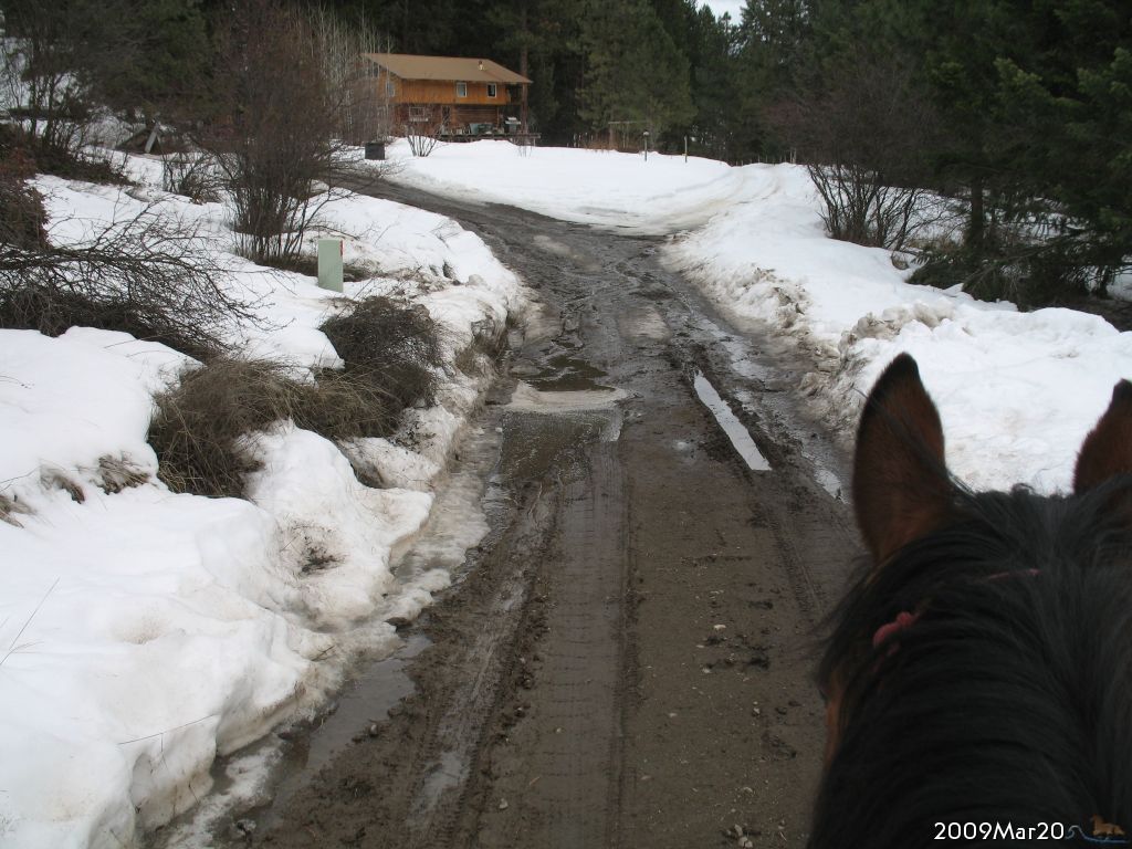
2009.Mar.20 Mud follows ice as the roads melt | ||||||
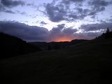 |
2002.Jul.09 Sunset glow on clouds, over Mt. Elizabeth | ||||||
 enlarge to 640x480 |
2002.Jun.30 Red sunset over Mt. Elizabeth | ||||||
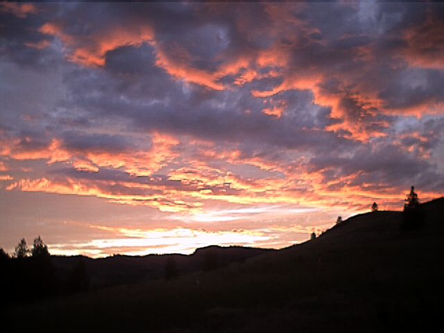
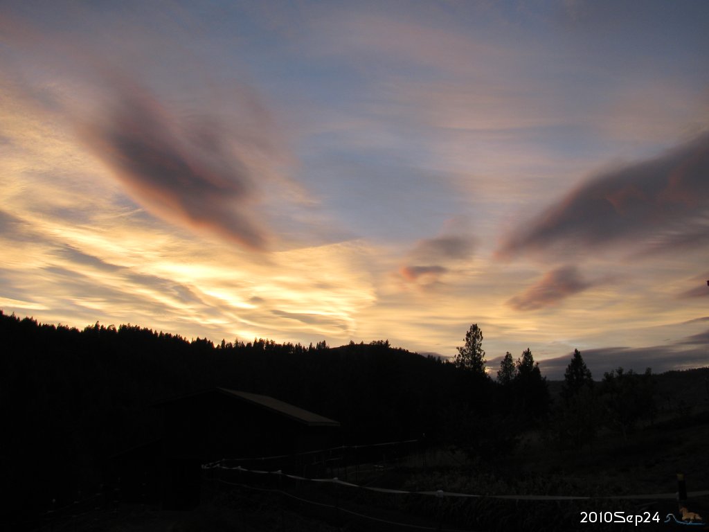 enlarge to 1024x768 |
2010.Sep.24 Multi-hue, softer, colorful sunset due west. | ||||||
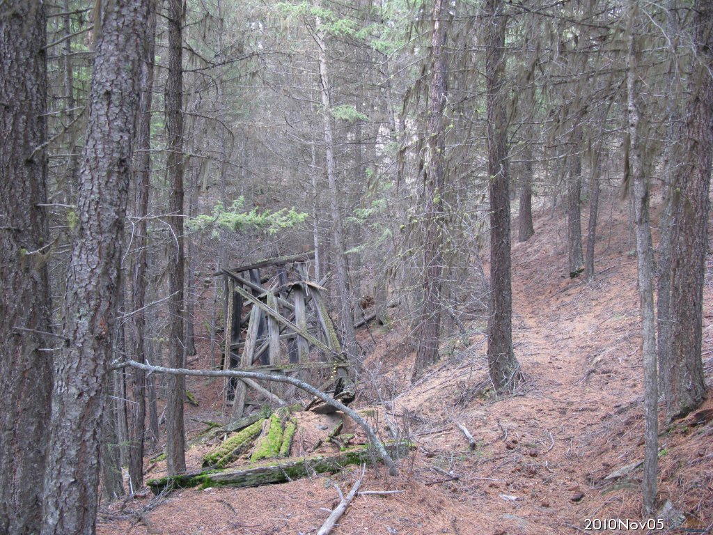 enlarge to 1024x768 |
2010.Nov.05 100 years ago there was a railroad up Lambert Creek to a small town of Belcher. Today I finally found the trestle, or what's left of it. | ||||||
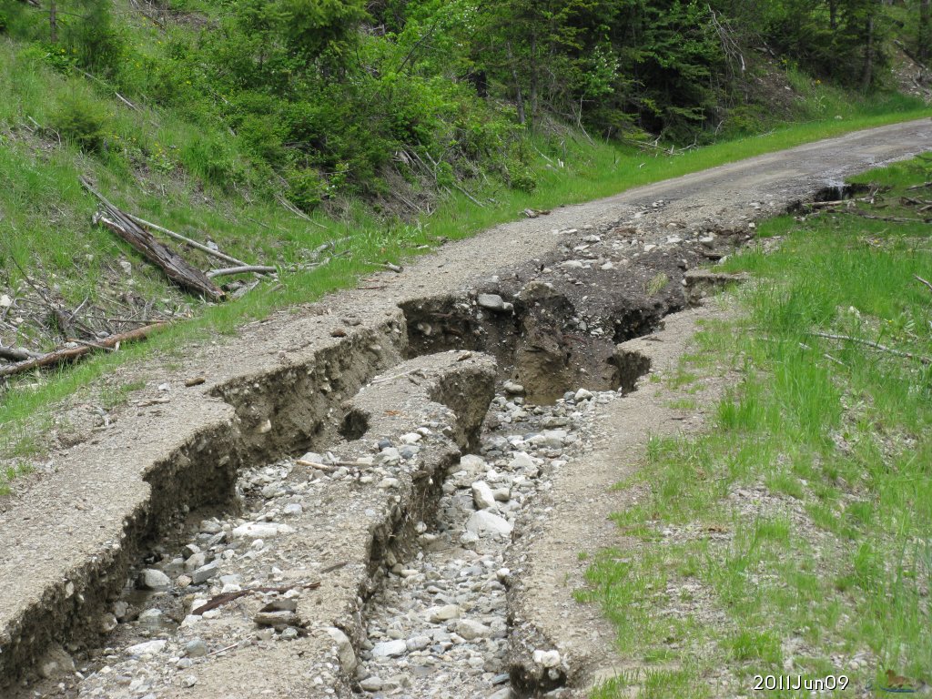 enlarge to 1024x768 |
2011.Jun.09 This year has been the wettest since 1998, when the last flood occurred here. Here is the largest damage on Lambert Creek. The creek became a river and overran it's banks, washing down the National Forest Road 2156 for 1/4 mile, leaving holes up to 3 feet deep. | ||||||
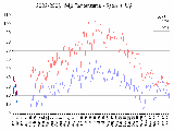 show all charts |
Weather charts including: Latest temperature high,low since 2002.Feb New: Flood of 1998 pictures added. | ||||||
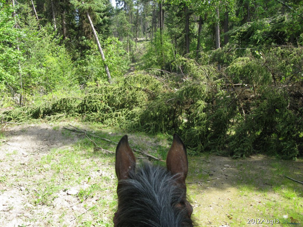 enlarge to 1024x768  enlarge to 1024x768 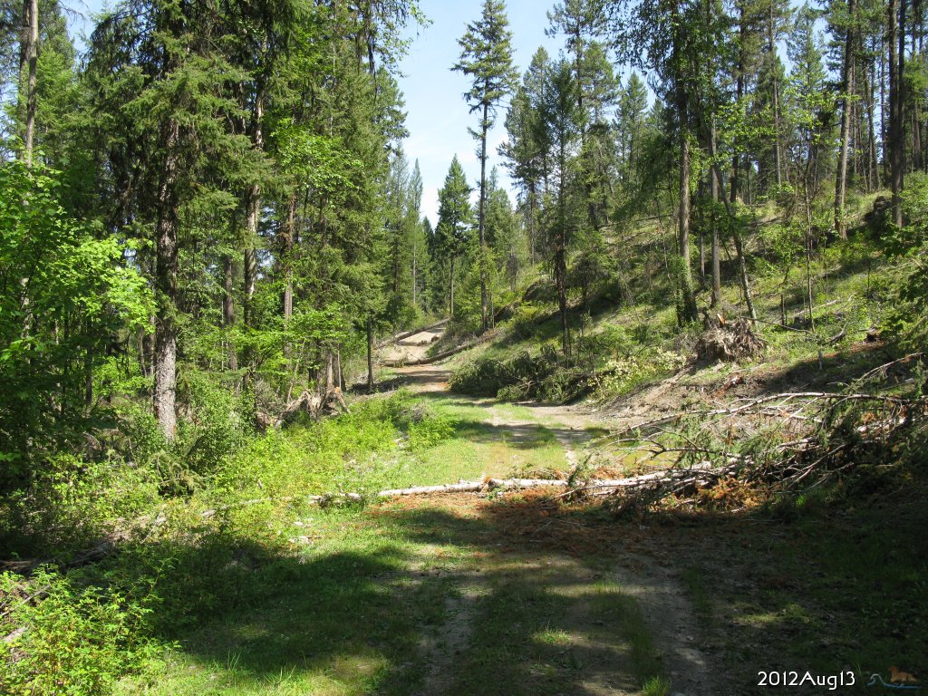 enlarge to 1024x768 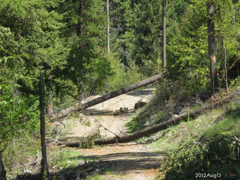 enlarge to 1024x768 |
2012.Aug.13 Lots of trees down from the Jul.21 extreme wind event and thunderstorm squall line. Here is a formidable blockage... 45 minutes later, got past 5 trees, Look ahead, and see 3 more across the road, of 4 on the road, And this one is 2.5 ft high on the left side, and the roots displaced some very big rocks down the hillside. Should've taken more pictures around the corner, but I ran out of energy, and had to turn back. Horse said "No, I'm not jumping that tree standing on the edge of a cliff" She was right. We turned back and would've had to jump over it again. | ||||||
 enlarge to 640x480 |
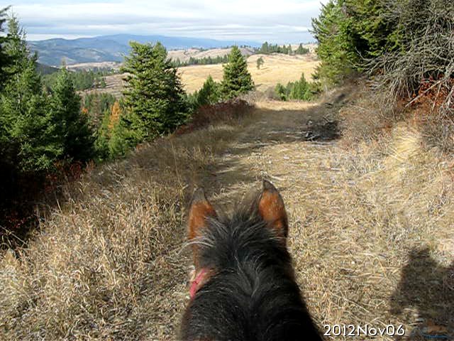
2012.Nov.06 Riding north in the National Forest above St. Peters Crk valley, nice view toward Curlew. | ||||||
| |||||||
![[Home]](images/home.gif) |
![[2nd year photos]](images/20030821-27.13-t60.jpg) |
![[Horse and goat photos]](images/20040403_GlamourHeadCurious_t60.jpg) |
![[Horse stories]](images/ebook-19990309-10.06-t60.jpg) |
![[e-Mail me]](images/mbicon.gif) |

